Ben Hall Family 1802-1977
The latter part of 1837 and the whole of 1838 was a period of severe drought. In 1837 also stock prices and wool declined markedly and many pastoralists were in serious financial difficulties.
As a result of drought many properties on Liverpool Plains were in difficulties as to water and searches were made of the area to find locations which had not already been occupied where water was plentiful.
On such a search Benjamin located a well watered area beyond a pass in the Range at the head of the Peel River. On the southern side of the range a creek issued from a swamp containing permanent water. The pass is now known as Ben Hall's Gap and the creek Ben Hall's Creek. It is one of the headwaters of the Barnard River a tributary of the Manning River.
It would be interesting to know whether Benjamin ever reported his discovery to Samuel Clift. It is quite possible he did not.
About the end of 1837 or in 1838 Samuel Clift, probably because of the effects of drought and the financial stringency decided to terminate Benjamin's employment. It is also possible that Benjamin himself after discovery of the well watered area decided to squat on it and make it his own property. At that time many landholders north of Liverpool Range held their runs by right of possession only or at the best by virtue of a licence to run stock on their occupied land issued by the Crown.
However it happened, it appears that Benjamin's employment by Samuel Clift ceased about the end of 1838. It is also likely that Samuel Clift paid Benjamin's wages wholly or in part by allowing him to take cattle. With the cessation of his employment Benjamin would have to provide a new residence for his wife and family.
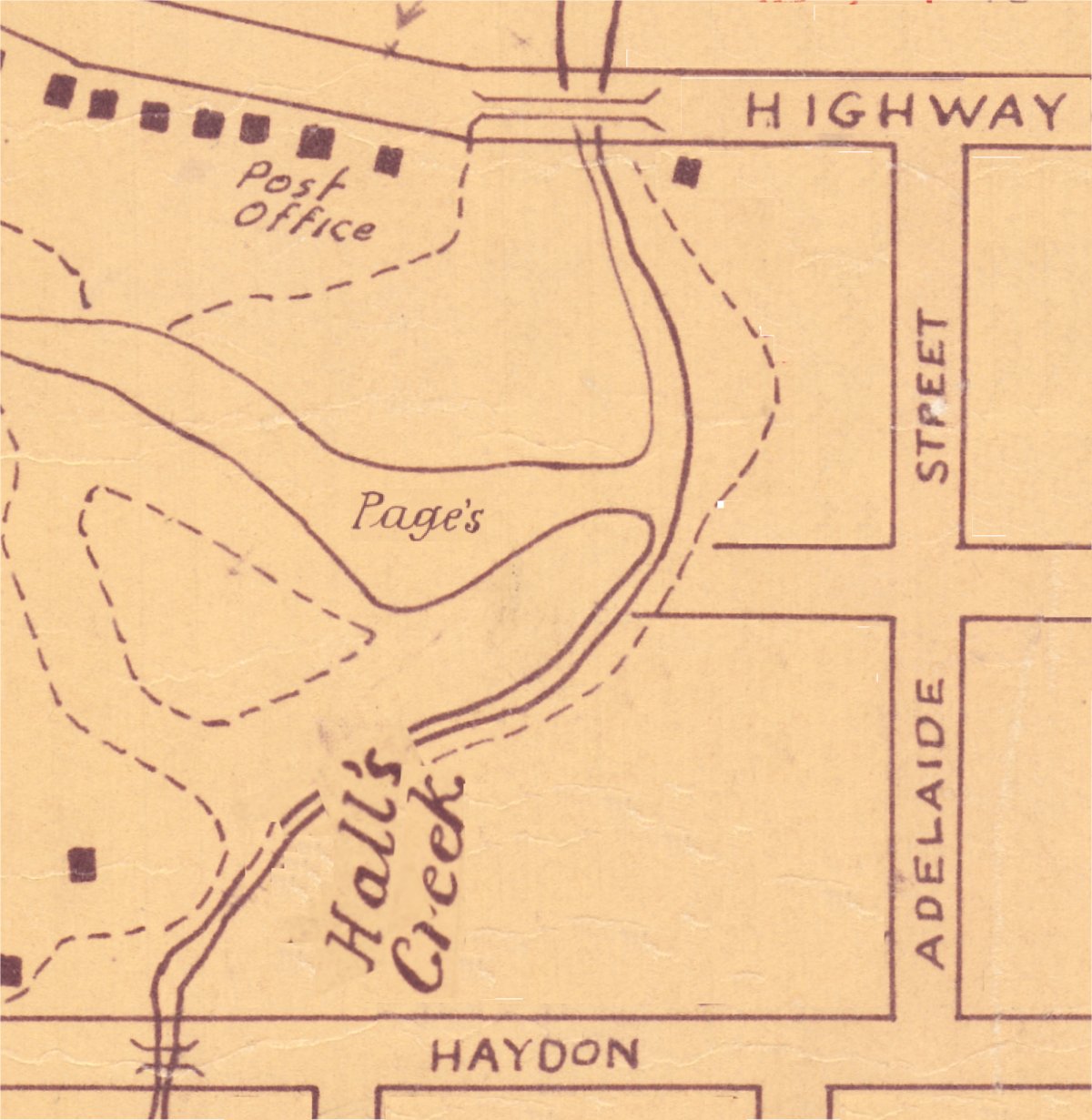
There is a report that after staying at Wallis Plains for a year they then moved to the head of the Page's River near Murrurundi where they built their house. Another account is that after a year he went to Murrurundi where they squatted in a tiny valley drained by a stream which emptied into Page's River.
But Murrurundi was not created until December 2, 1839 and all the land about Page's River in the valley had been granted to pastoralists prior to 1837 — if by tiny valley drained by a stream which emptied into the Page's River the reporter meant to indicate what is now known as Hall's Creek, Benjamin decidedly never squatted there ∼ it was the property of first Peter then Thomas Haydon ∼ and if he had squatted there why did he buy land not on the stream from Thomas Haydon in 1842.
However if the words Page's River are struck out and the words Barnard River (a tributary of Manning River) are inserted the description fits the land on which Benjamin squatted on Ben Hall's Creek. Also there was on this land a hut known as Ben Hall's hut which survived though in ruins until the 1930s. Thus it seems that Benjamin and his family moved to this property towards the end of 1838 or beginning of 1839 at which time conditions on Ben Hall's Creek would be the best for being at a high altitude it would be very cold particularly in winter and spring and in winter would often have been covered in snow.
But before this happened while still in Maitland another child was born to Benjamin and Eliza. Who this child was is a matter of some doubt. It seems it was Catherine but some accounts give her date of birth as 1843 which would agree with her age on her marriage certificate. On the other hand when registering her death her brother Henry showed her age as 70 which would place her birthday in 1838 and it is hard to imagine that Henry would not have known her correct age — 1838 would make her seven years older than he whereas 1843 only two.
It is likely also that before bringing his family to the squatterage Benjamin would have erected or partly erected the hut on that property. As it was built of slabs with a bark roof and solidly built this may have taken several months and having regard to its size and construction he must have had the assistance of two or three men.
While the squatterage is in a remote area and was then outside the 20 counties ∼ the administrative area of the Colony ∼ it was not quite so remote then as it now is. In those days the Australian Agricultural Company had built a road from Gloucester up the Manning River and over the Range to the Peel River, the track used by Mr H.C. Sempill to move stock and supplies from Ellerston to Walcha was fairly close and there were other squatters in the neighbourhood.
To get there from Maitland Benjamin would have employed a bullock drawn dray to carry household goods and supplies and his wife and smaller children — the elder may have ridden. The route would have been up the Great North Road (generally the line of the present New England Highway as far as the site of Aberdeen) (which did not then exist) then through Segenhoe and adjoining properties past Arden Hall and Belltrees to Ellerston — all this through settled areas. From Ellerston he probably followed the Walcha track through what is now Glenrock and Barry whence he would have turned off and followed Ben Hall's Creek to the hut. It would have taken at least 15 days continuous travel.
Back to the contents